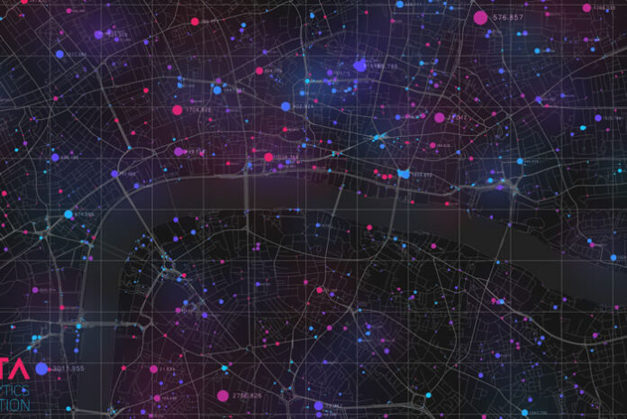
In March 2020, the World Health Organization officially declared the coronavirus outbreak a pandemic. More than a year later, it’s become clear that when tackling an unforeseen health crisis like COVID-19, we can quickly get a handle on what is happening, who is being affected, and how a disease is spreading. It’s the “where” component that’s not always as transparent. This creates a host of preparedness and response challenges, especially for governments and healthcare. One solution addressing this critical issue is geospatial data, which benefits emergency response efforts and has the potential to mitigate the impact of future pandemics.
Geospatial data
Geospatial data provides the critical “where” factor, which is essential in tracking disease outbreaks, predicting hot zones, and understanding and responding to supply chain disruptions and downstream impacts on critical services and industries. Geospatial data provides insight about objects, events, or phenomena that have a geographic location anywhere on the surface of the earth. At its most basic, it is “place based” or “locational” information. Understanding where people are moving and traveling, for example, is key in mitigating the spread of a virus or infectious disease. Geospatial data provides this dynamic insight.
For COVID-19 and potential future pandemics, geospatial data can help predict the next hot zones and outbreaks of a virus at the county, zip code, and other geographic levels in the U.S. and globally. This enables deployment of medical resources in advance of a virus, rather than chasing the virus—aiding first responders in saving lives. These insights can significantly improve the ability to halt the spread of a contagion and treat the infected too.
Time to reopen the public
Currently, with vaccines rolling out and stay-at-home restrictions slowly lifting, states are eager to reopen their economic pipelines and Americans are desperately looking to break their socially distanced homebound lives. Unfortunately, there is no roadmap to guide this difficult transition and the risks remain high. The insights derived from geospatial data can guide de-quarantine efforts to restart economic activity initially in “safe” zones, and slowly expand when conditions are right to reduce the risk of additional “waves” as normal activity and social interaction is resumed.
With a reopening, however, some types of businesses are more exposed to the risks due to the nature of the work being performed. Schools, airlines, cruise lines, and commercial real estate, for example, which are people-centric, face even greater challenges as they look to ramp up their operations. Many experts agree that a data-driven approach, using risk-based decision support tools like geospatial data, will play a vital role in understanding the challenges high-risk industries face in the coming months and looking toward the future.
Predictive modeling
In addition to health insights, geospatial data can also help governments and healthcare understand supply chain disruptions of medical supplies and equipment. At the onset and during the uptick of COVID-19, U.S. hospitals reported shortages of key equipment needed to care for critically ill patients, including ventilators and personal protective equipment (PPE) for medical staff. Even now, with vaccines increasing and many hopeful that the pandemic is nearing an end, many of the nation’s physicians continue to report problems accessing PPE which is still necessary to prevent the spread of COVID-19. Geospatial data can identify in advance key supplies and equipment that may be in short supply so they can be manufactured, allocated from other areas, or other contingencies can be made.
Similarly, geospatial data can anticipate the downstream impact and strain on industries and the social safety net to ensure continuity of critical services like funeral homes and ambulatory services.
Life may never return to the normal we once knew, but geospatial data has the potential to prevent another devastating global health crisis from putting our lives on an indefinite hold ever again.


